Mia Zimmermann · 14 September 2026
Polish Climate Experts Refine Models to Sharpen Localized Forecast Accuracy Across Regions
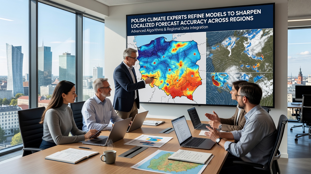
Polish climate experts have advanced their numerical weather prediction systems through targeted refinements that improve resolution at the local level, and these updates address variations across mountainous, coastal, and urban zones in the country. Data from the Institute of Meteorology and Water Management shows that earlier models often smoothed over microclimates, yet the new iterations incorporate higher-resolution satellite inputs along with ground sensor networks to capture finer details.
Background on Regional Forecasting Needs
Poland experiences diverse weather patterns influenced by Baltic Sea influences in the north and Carpathian mountain effects in the south, so localized forecasts support agriculture, flood management, and energy planning. Researchers at several national institutions have integrated ensemble methods that run multiple simulations in parallel, and this approach reduces uncertainty ranges for precipitation and temperature predictions at scales below 5 kilometers. According to the European Environment Agency, similar upgrades in other EU member states have cut forecast errors by measurable margins during extreme events.
Teams have focused on data assimilation techniques that blend real-time observations with historical records, while they adjust parameters for soil moisture and vegetation cover that differ sharply between regions. These adjustments matter because flat central plains respond differently to heat waves than forested or riverine areas, and refined models now reflect those distinctions more precisely.
Technical Refinements in Model Architecture
Experts updated the core dynamical core of the models to handle sub-grid scale processes such as urban heat islands and orographic precipitation more effectively. They added machine learning post-processing layers that correct systematic biases identified in past verification studies, and verification against station data from September 2026 onward demonstrates tighter alignment with observed values during both summer convective storms and winter frontal systems.
One study coordinated across multiple Polish universities tested the revised framework against legacy versions during a series of heavy rainfall episodes, and results indicated improved skill scores for 48-hour outlooks in the Oder and Vistula river basins. The work draws on open datasets from the European Centre for Medium-Range Weather Forecasts, which supplies boundary conditions that the Polish teams downscale for national use.
Applications Across Different Polish Regions
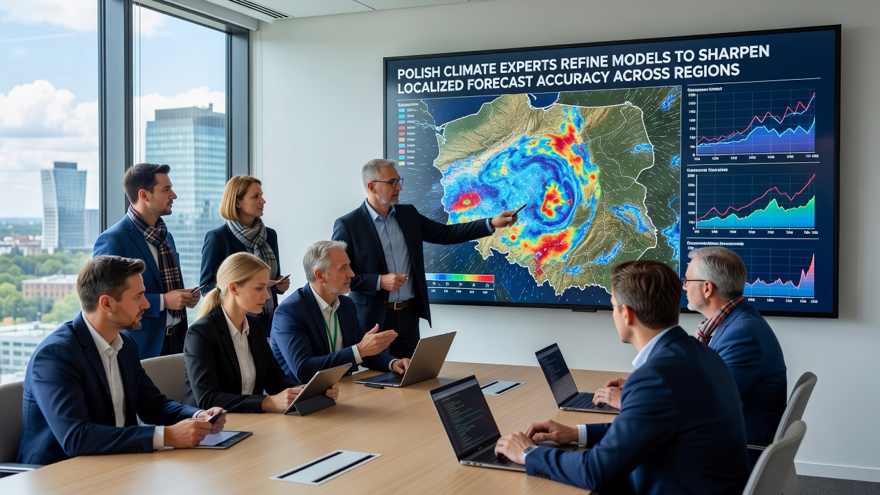
In the northern coastal zones, refined wind and humidity forecasts assist port operations and fisheries by providing more reliable guidance on storm timing. Southern mountain communities benefit from better avalanche and flash flood alerts because the models now resolve elevation-driven temperature gradients at higher fidelity. Agricultural cooperatives in the east report using the updated outputs to time irrigation and harvest decisions, and early adoption data from regional meteorological offices shows measurable reductions in weather-related losses.
Urban planners in major cities have begun incorporating the localized temperature projections into heat action plans, since the enhanced resolution distinguishes between dense city centers and surrounding green belts. Cross-border collaboration with neighboring meteorological services further strengthens boundary accuracy, especially for systems that move from Germany or Ukraine into Polish territory.
Verification and Ongoing Development
Continuous verification programs compare model outputs against independent observation networks every month, and adjustments occur when systematic deviations appear in particular seasons or geographic pockets. Funding from national research grants supports expansion of sensor arrays in under-sampled areas, which in turn feeds back into the assimilation process. Observers note that these iterative cycles have become standard practice among forecasting centers worldwide, and Polish contributions align with broader efforts coordinated through the World Meteorological Organization.
Training programs at technical universities prepare the next generation of model developers to maintain and extend these systems, while partnerships with international research groups provide access to emerging computational techniques. The focus remains on delivering actionable information that local authorities and industries can apply directly.
Conclusion
Polish climate modeling efforts continue to evolve through systematic refinement of resolution, data integration, and regional parameterization, and these changes support more accurate forecasts tailored to the country's varied landscapes. Ongoing verification and sensor expansion sustain progress, while collaboration with European and global partners supplies additional context and resources. The resulting improvements aid decision-making in agriculture, infrastructure, and emergency response across multiple regions.